


Returning home is the most difficult part of long-distance hiking; You have grown outside the puzzle and your piece no longer fits.
- Cindy Ross


Etapp 25 - Hemavan
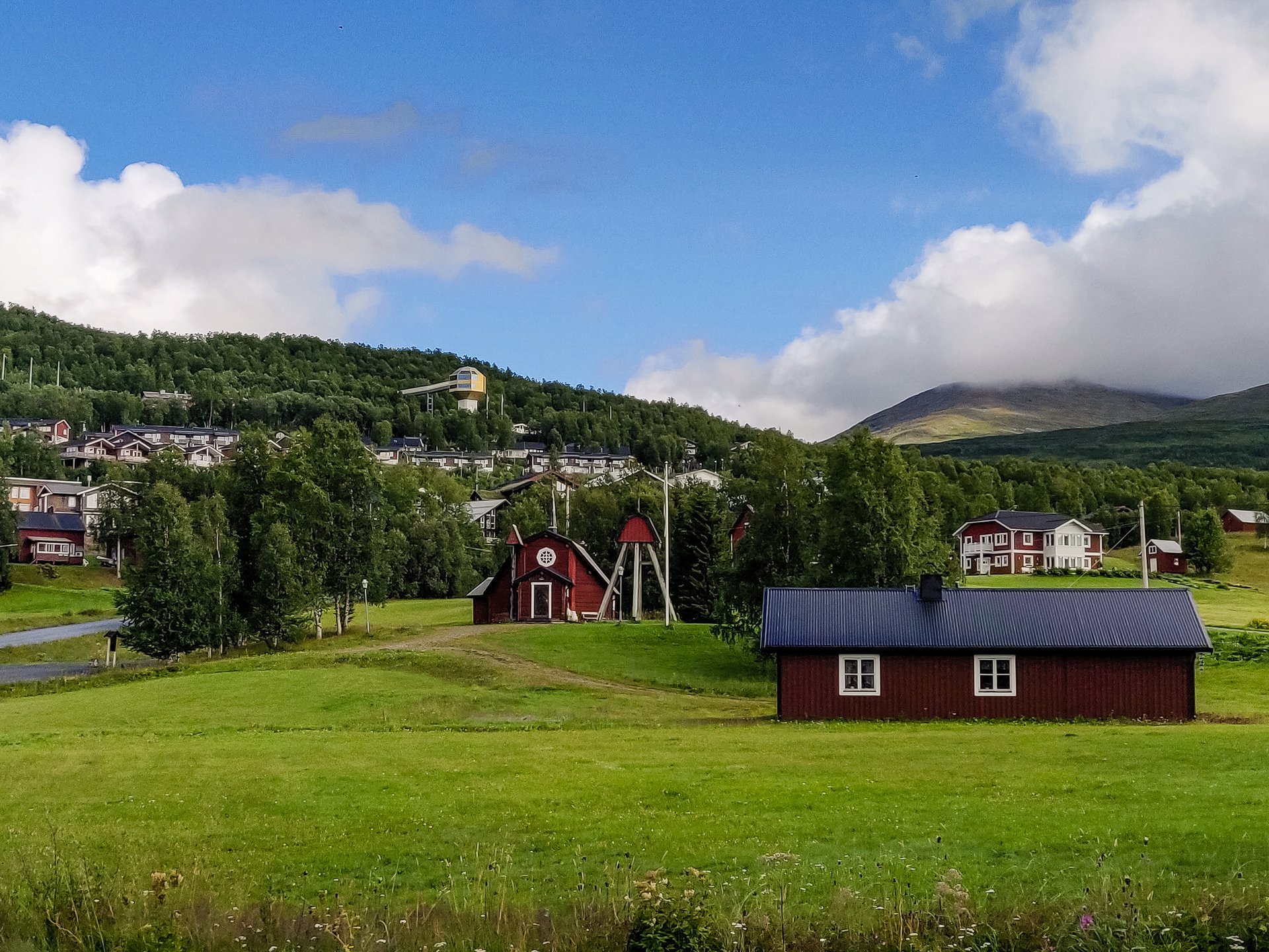
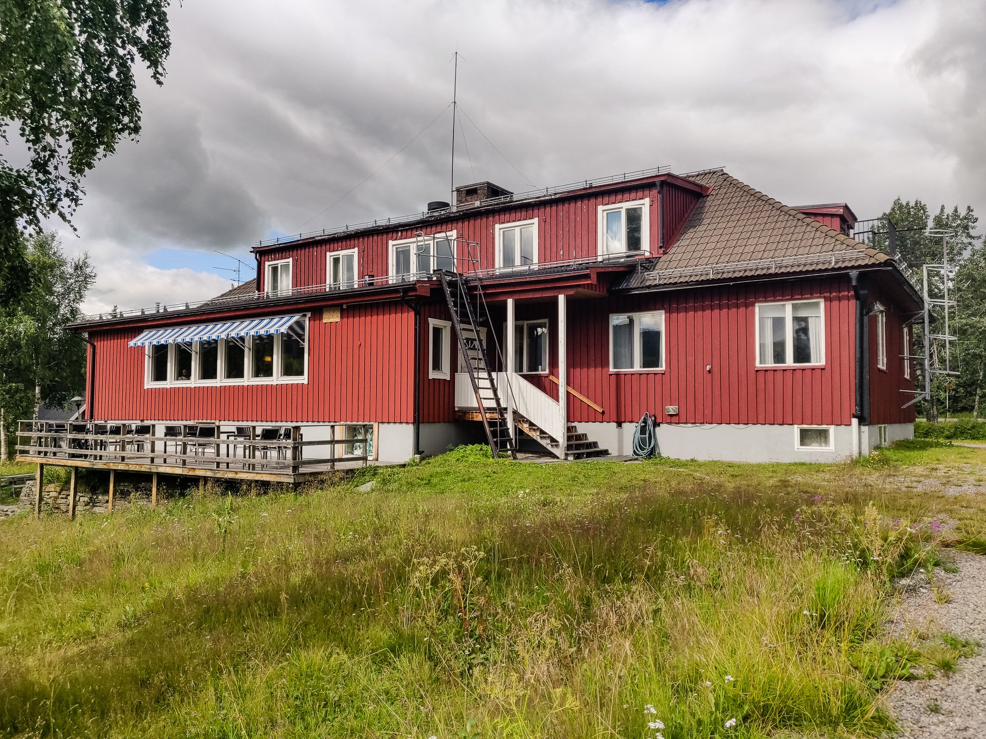
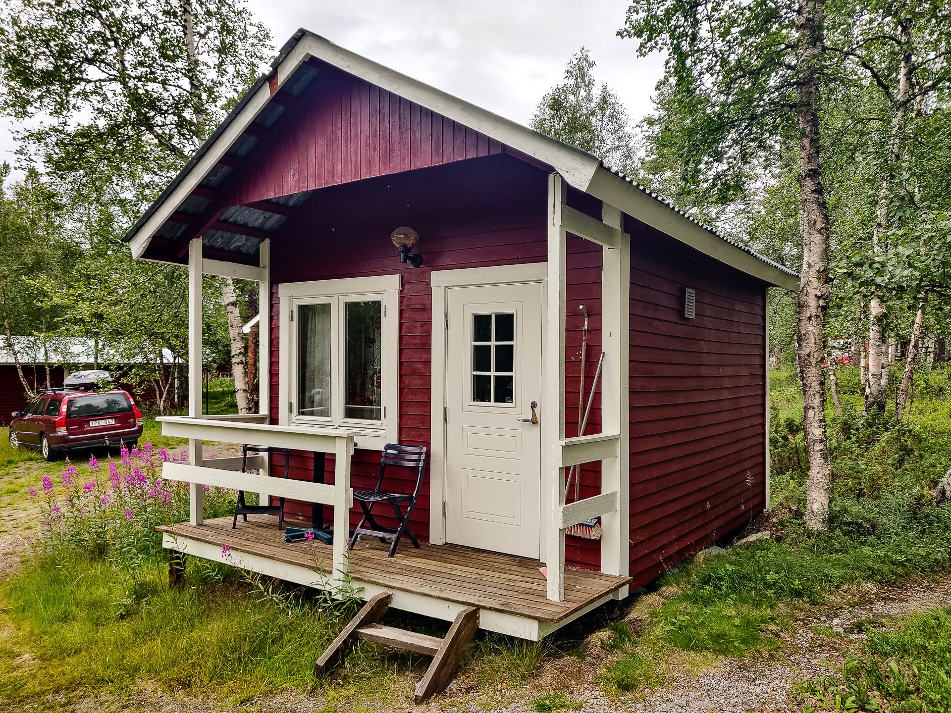
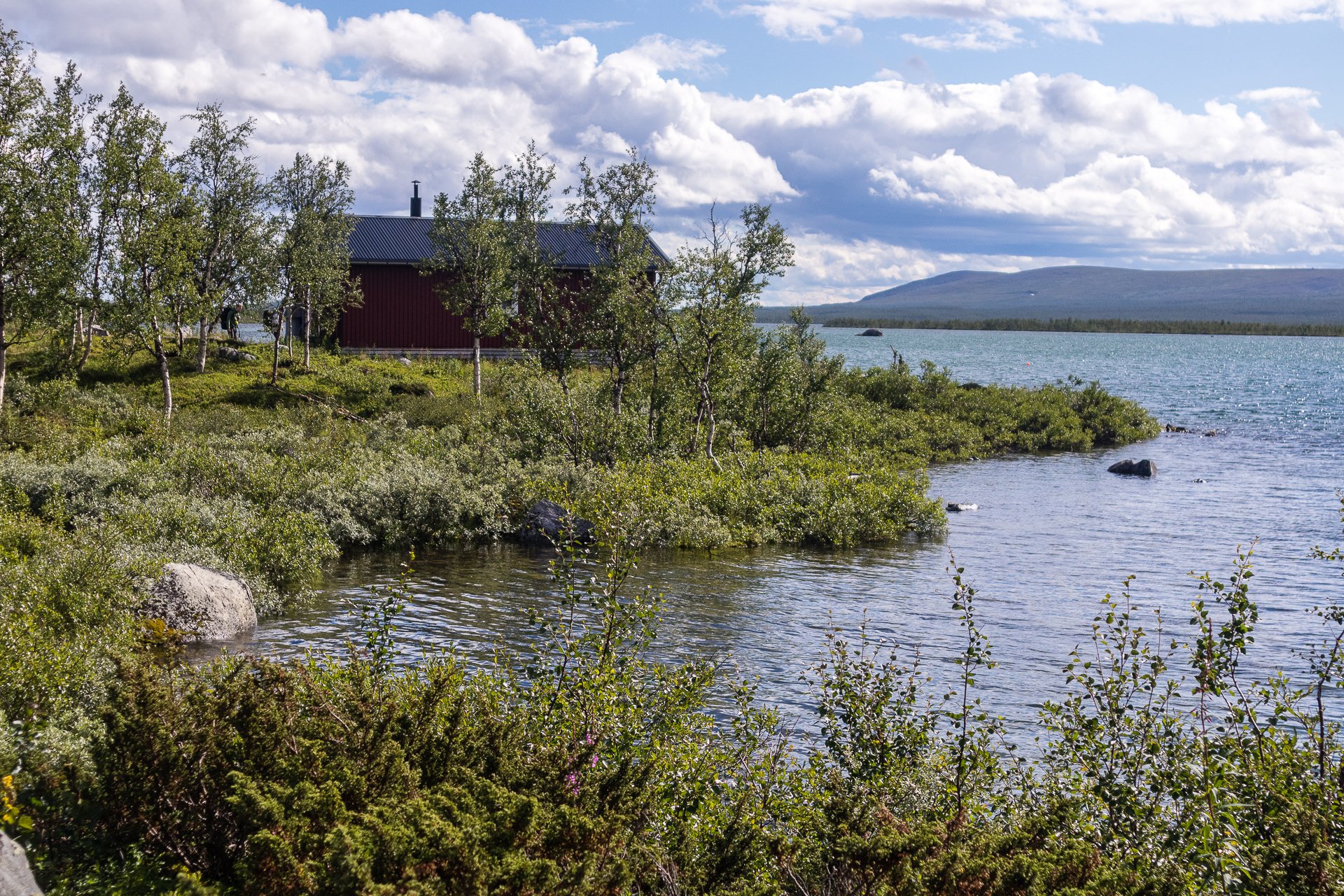
Not really a town so much as a shopping mall with a collection of accommodation and ski options, Hemavan sits on Bluvågen and acts as either the start or end of the trail.
Etapp 24 - Viterskalet to Hemavan
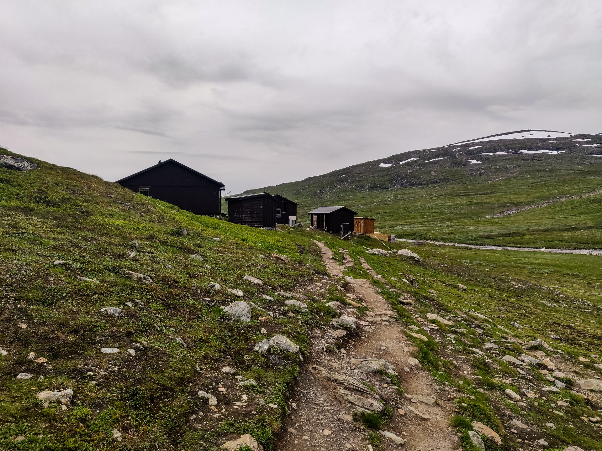
The final stage on the King's Trail, the trail has many signs of civilization as this section is also heavily used in winter for skiing. There is a reasonably steep uphill section before you head downhill into Hemavan. The final kilometre or so into Hemavan is on real roads when you reach the Naturum and the archway signalling Kungsleden's end.
Etapp 23 - Syter to Viterskalet
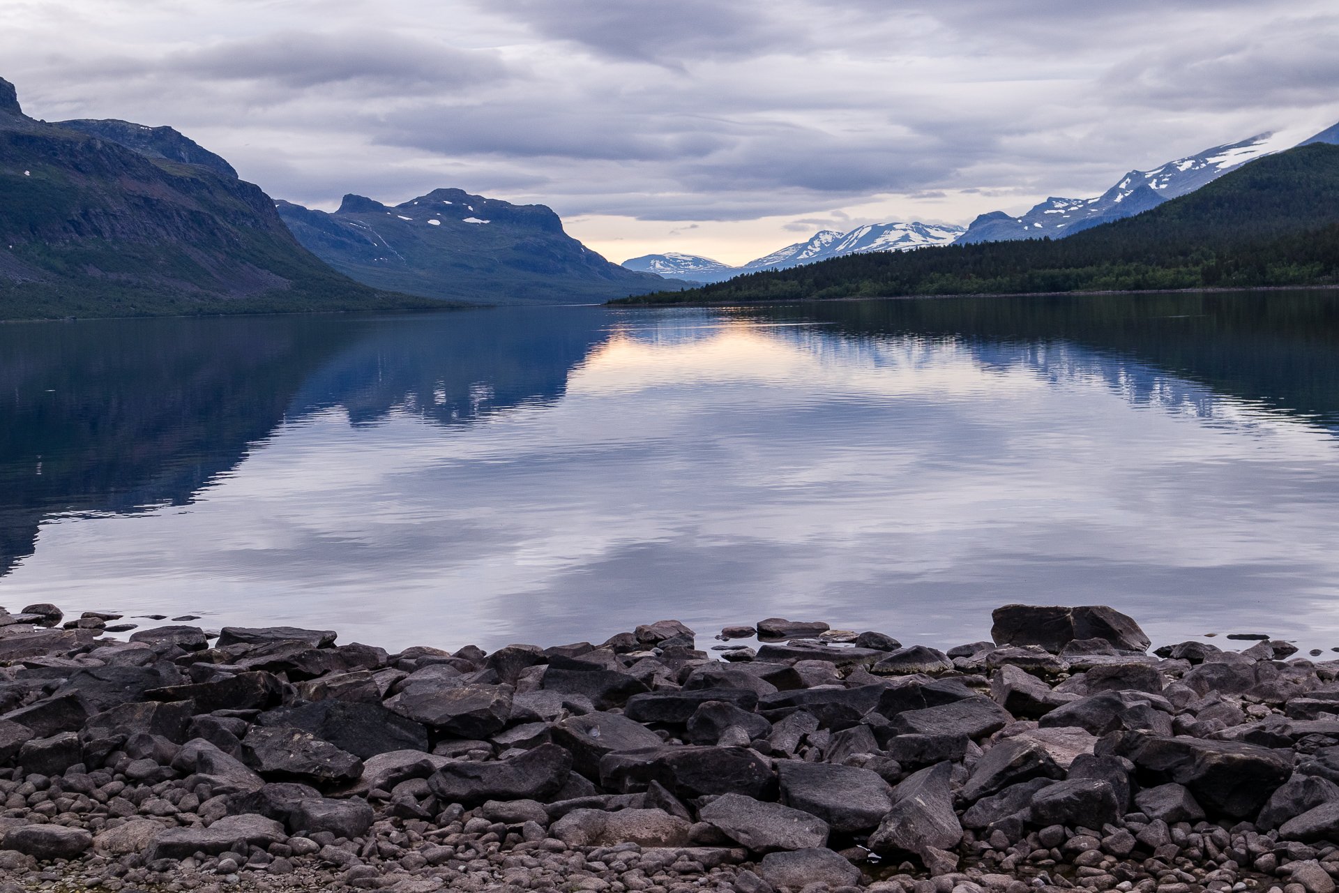
Starting at the King's Trail's oldest cabin, the section between Syter and Viterskalet offers one of the best views of the trail, the entrance to the final valley with Norra Sytertoppen on one side. (The hike up to Norra Sytertoppen is a wonderful side trail and worth the climb) Once you enter the valley, the trail is easy and even, and the scenery remains spectacular.

Etapp 22 - Tärnasjö to Syter
Perhaps a unique section of the trail, you walk along the water’s edge for much of the 14 kilometres between Tärnasjö and Syter, passing several bathing spots and sand beaches before hiking over a series of bridges connect many islands. The final uphill section to Syter is quite tough after an otherwise easy stroll.
Etapp 21 - Serve to Tärnasjö
The trail between these two cabins is fairly up and down but not very steep, and so its more a hill walk than a climb. The scenery is beautiful through this reasonably short section of the trail.

Etapp 20 - Aigert to Serve
Lush grassland gives way to rocks and pools as you climb ever higher on the trail from Aigert to Serve. This section has the highest point and the steepest ongoing climb of the Southern part of the King's Trail (Tjäkta being the highest overall). After reaching the emergency cabin at Juovvatjåhkka, you have a fast climb down before a shorter hump and an eight-kilometre gentle descent to reach Serve.
Etapp 19 - Ammarnäs to Aigert
A short trail and starting from the town of Ammarnäs, it quickly moves into beach forests with some spectacular waterfalls to cross on bridges. Following breaching the treeline, you have a short walk, with great views back over Ammarnäs and the delta before reaching Aigert and its two small lakes.

Etapp 18 - Rävfallet to Ammarnäs
At 21 kilometres, this section is about average but starts, after crossing the river at Rävfallet, with a steep uphill climb to reach the plateau, which takes up most of your hike. The downhill at the end gets very steep into Ammarnäs as you're crossing a ski slope. The final section from the bottom of the trail into the centre of Ammarnäs is on tarmac roads.
Etapp 17 - Adolfstrom to Rävfallet
Starting with a hike or optional boat ride along the lake, the trail from Adolfstrom to Rävfallet is one of the longest sections. It starts with forest hiking before moving up to above the treeline and hiking along plains and rocks. A reasonable section of the trail, with Sjnulttjie as an option, if the weather turns bad, Be aware, a few kilometres around Sjnulttjie, you pass through a bird sanctuary with restrictions on where you can camp. Much of the rest of the trail to Rävfallet is in the shadow of the nearby hills and on good trails, with the final section in a deep forest before you come to find the cabin at Rävfallet.
Etapp 16 - Jäkkvik to Adolfstrom
A fairly short stretch that starts with a lot of climbing through Beach forests. Plenty of water is available as you hike along, and the final stretch is a reasonable downhill through good trails to reach Adolfstrom.

Etapp 15 - Vuonatjviken to Jäkkvik
A challenging uphill hike from Vuonatjviken South to the tree-line turns into a simple hike across the plateaus, ending with a long forest hike into Jakkvikk, with a short stretch on a resupply road. A few kilometres outside of Jakkvikk, you'll be rowing a boat 300m, which may be challenging if it is your first attempt.

Etapp 14 - Tsielekjåkk to Vuonatjviken
One of the longest stretches between accommodation, this wilder section of the King's Trail offers diverse terrain but some stunning views. As it is much wilder and on the edge of the Arctic Circle, you'll encounter a lot more variety of flora and fauna, but this is also where you really start to get the mosquito swarms.
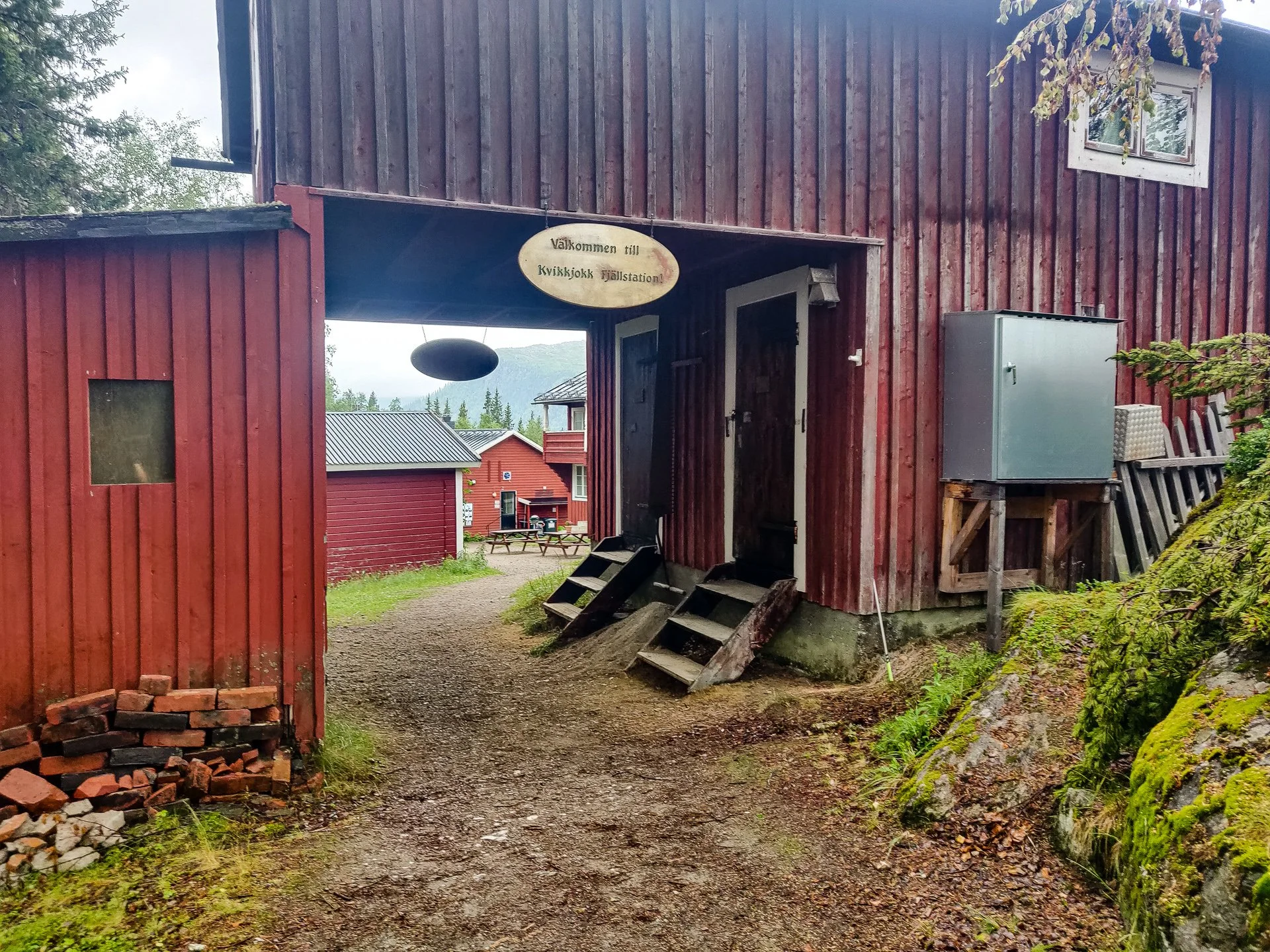
Etapp 13 - Kvikkjokk - Tsielekjåkkstugan
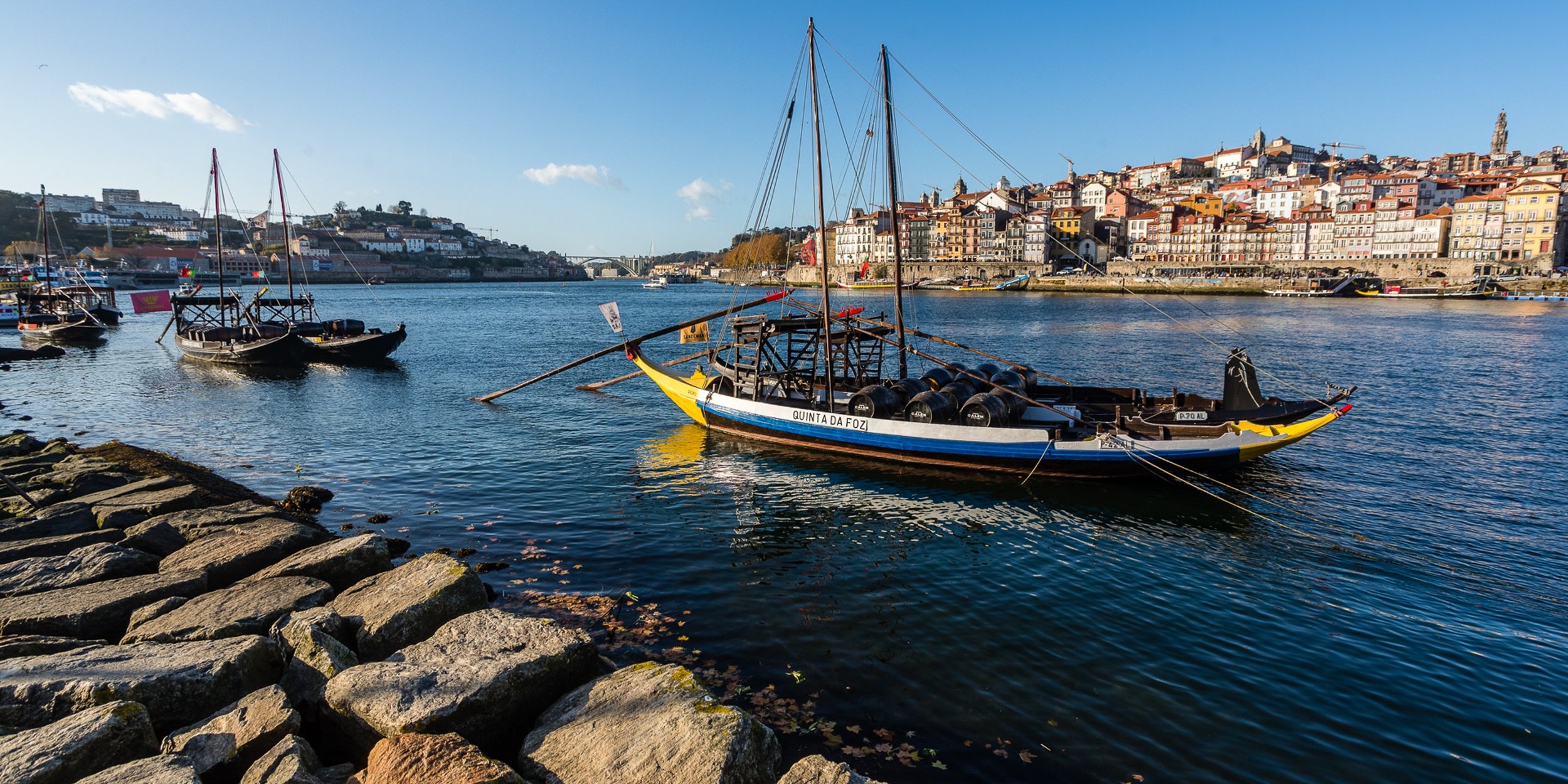
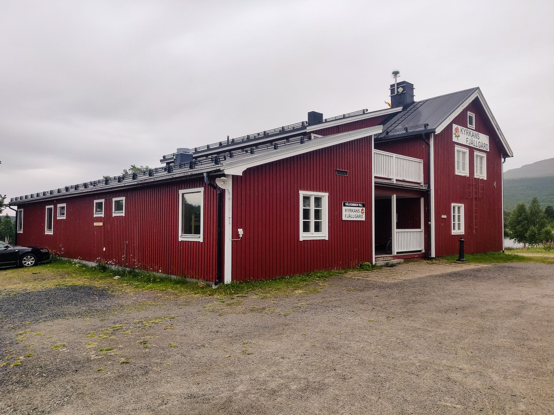
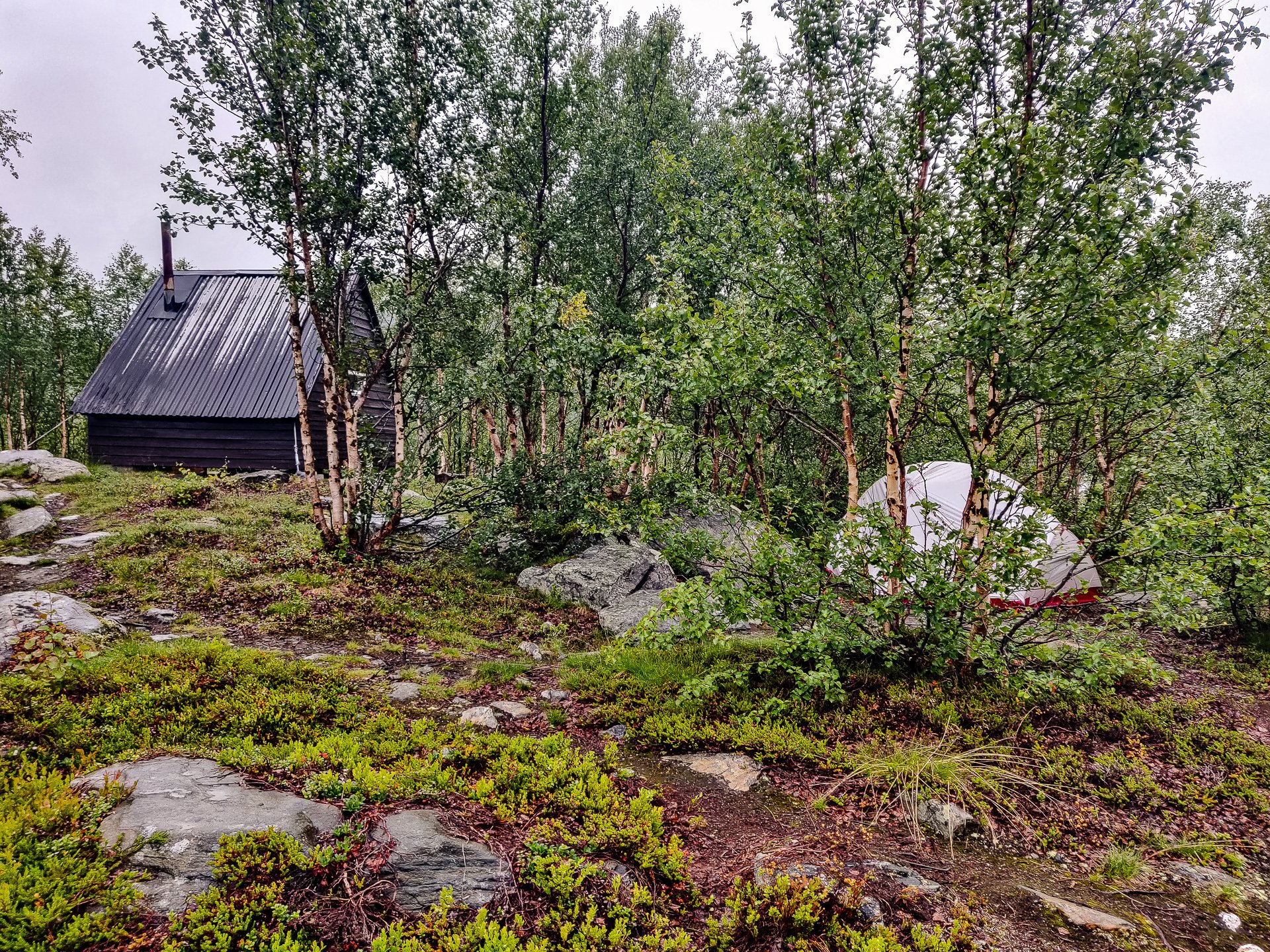
Silver ore was discovered close to what is now Kvikkjokk in the 1650s, and shortly after, in 1661, a Luleå silver plant with a smelter was constructed. Almost 400 years later, 18 permanent residents, as well as a larger number of vacationers, make their home here. Perhaps the fulcrum point on the King's Trail sat between the well-serviced north route to Abisko and the wilder section to Ammarnas. Also, from Kvikkjokk, easy transport options exist into Jokkmokk and various other hiking opportunities in the area.
Etapp 12 - Pårtestugan - Kvikkjokk
Walking along lake edges for much of this section, Pårtestugan to Kvikkjokk is a fairly easy hike through forests, and there is even Dáhtá beach to relax on if you choose to. It is mostly through humid forests with some really nice bridges over the numerous waterways, its an easy trail into Kvikkjokk.

Etapp 11 - Aktse - Pårtestugan
The boat is a short walk from Aktse, so make sure you leave time to reach it before the departure time. The trip is a short hop over Lájtávrre and then a hike through forest and marshland before you climb the edge of a hill.
Etapp 10 - Sitojaurestugorna - Aktse
Starting with a nice boat ride across Sitojaure, the hike following landing is a stretch through the forest as you climb higher and higher and break the tree-line before a short plateau walk and then a steep climb down, which becomes very steep approaching Aktse.
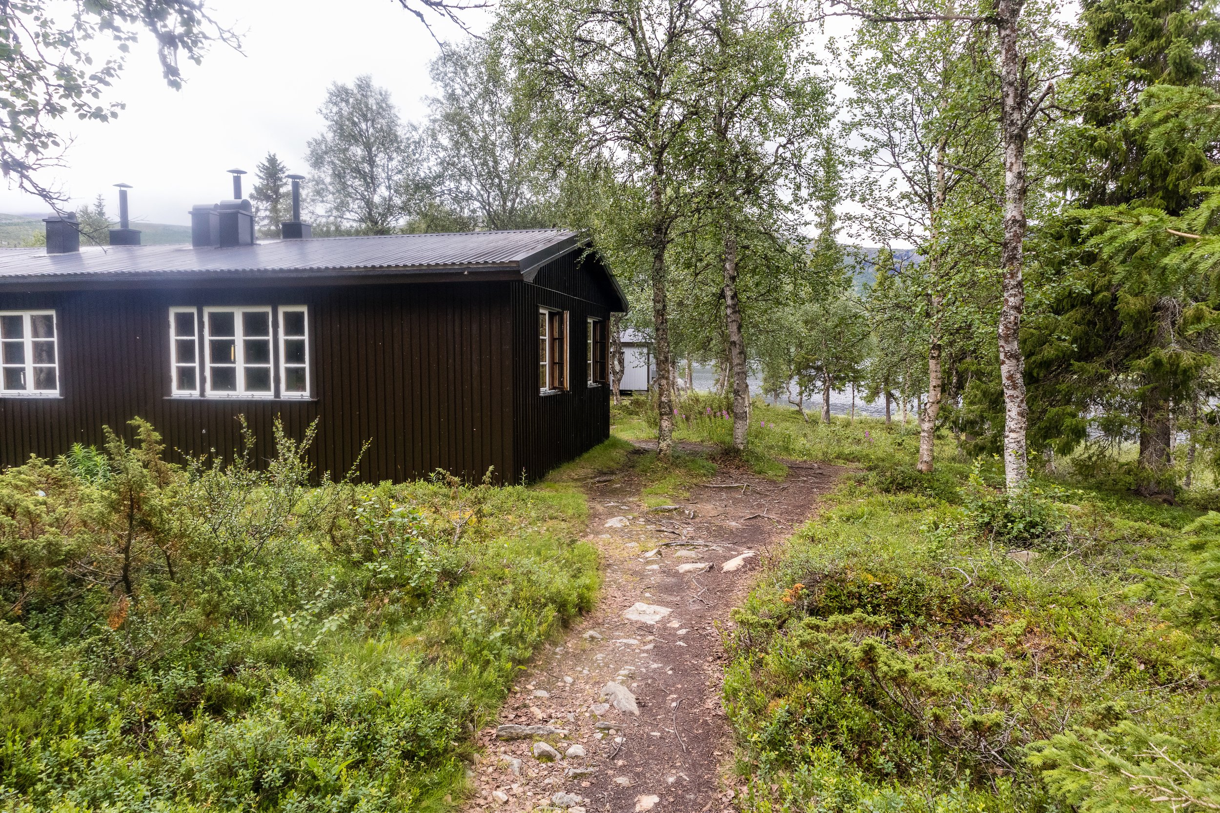
Etapp 09 - Saltoluokta fjällstation - Sitojaurestugorna
Almost immediately into a heavy green forest, there is a short but steep climb upwards before plateauing and having a consistent hike along the grasslands. The final stretch into Sito is a reasonably gentle downhill walk. As an easy hike, you can make perfect time between these two points, but given the fixed boat schedule from Sito, this may leave you cooling your heels in the STF station.
Etapp 08 - Teusajaurestugorna - Vakkotavare
The first half of this trail is uphill and can be quite strenuous. The summer hiking trail, once you reach the top, takes you on a detour from the winter to find the bridge over the river. Despite being high, the terrain is marshy after the river and for much of the summer will likely be a muddy slog, continuing gently uphill.

Etapp 07 - Kaitumjaurestugorna - Teusajaurestugorna
Crossing through Sjaunja, Sweden's second-largest nature reserve and part of Laponia's World Heritage site, the section of trail is short, though with a reasonably steep uphill section about halfway through. Once at the summit, the walk is flat, but it can be challenging to find the trail as much of the terrain in the last few kilometres is large rocks. Keep a close eye on the markings and don't be fooled by the winter trail markers.

Etapp 06 - Singistugorna - Kaitumjaurestugorna
This section runs alongside the sizable Tjäktjajäkka river and has several places where you likely need to remove your shoes to wade across the stone beds of smaller feeder streams. Deep enough that its unwise to cross just trusting to your boots waterproofing the water is bitingly cold on your feet and it is very much worth bringing some boat shoes with a grip, just for these crossings.