Etapp 04 - Tjäktastugan - Sälkastugorna
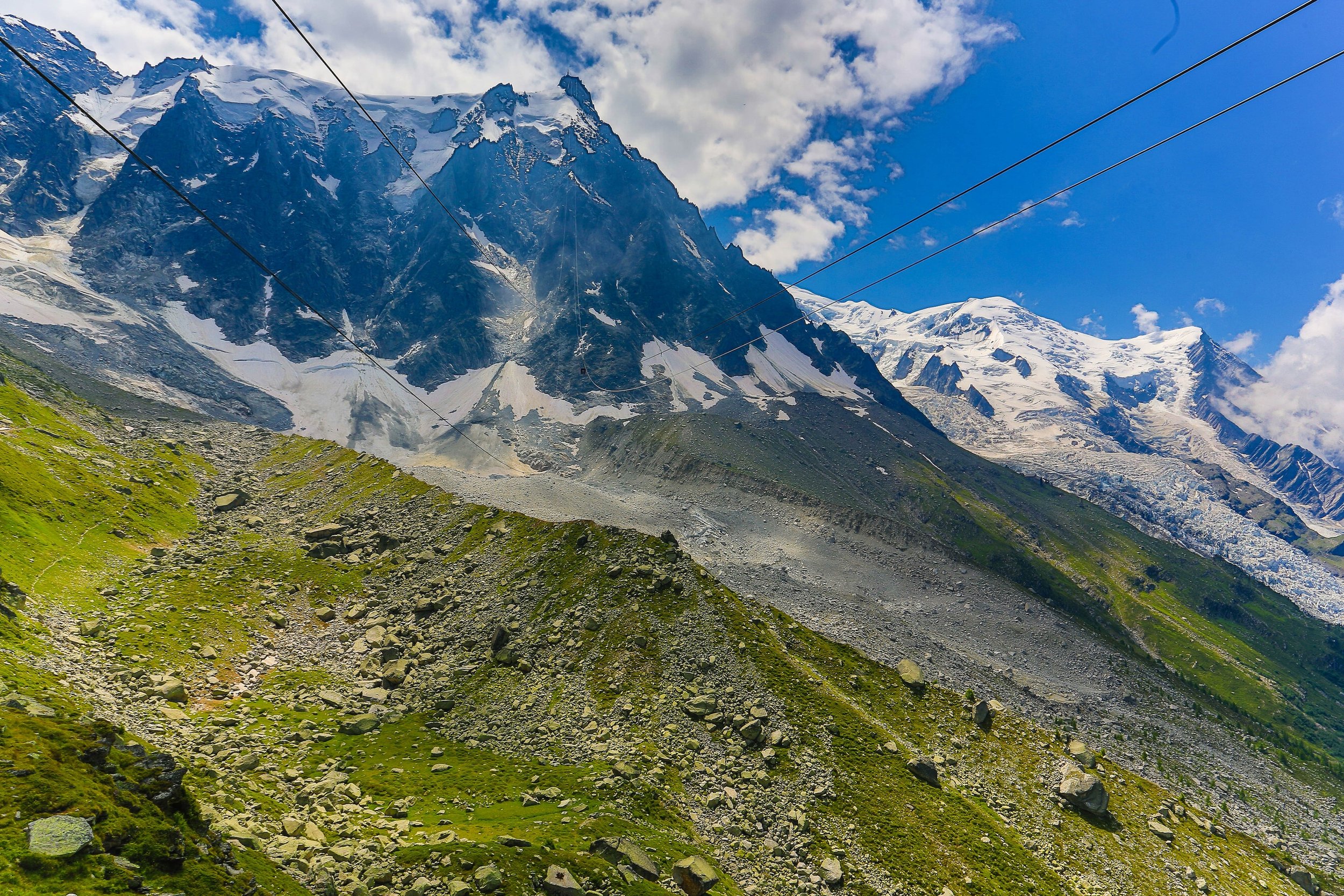
Through this section of the trail, you pass the highest point of Kungsleden. Despite this, it is not the most challenging climb of the route. Even during the summer months, there will be blankets of snow to cross. Keep a careful watch on the ground and probe ahead with a hiking pole or stick. There can be a sudden drop of as much of a foot where stones below the snow have shifted.
At the summit of the highest point is a cabin, though not one from STF and access is arranged separately. In good weather the views are breathtaking, but it is typical for rain and clouds to obscure them.
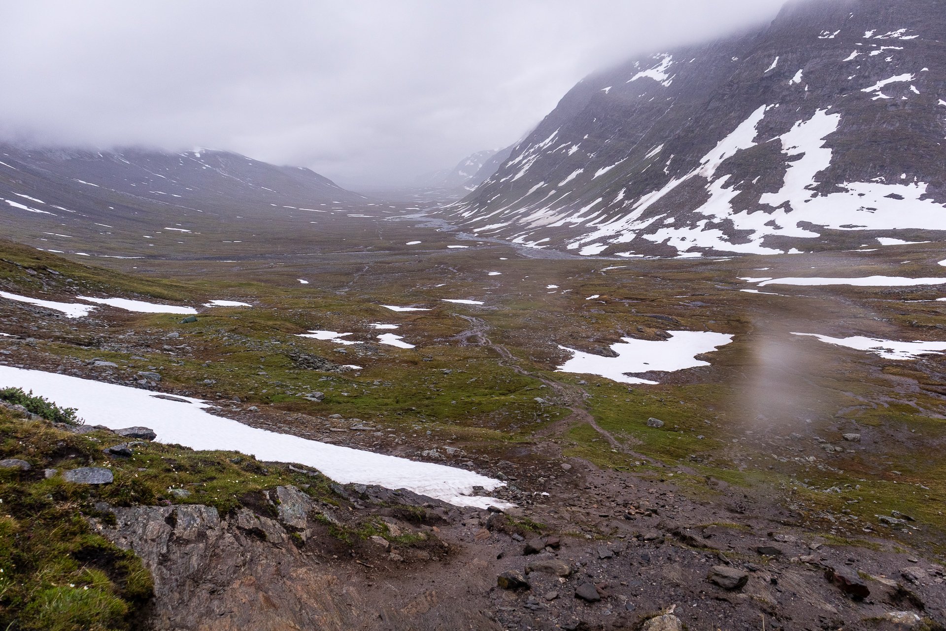
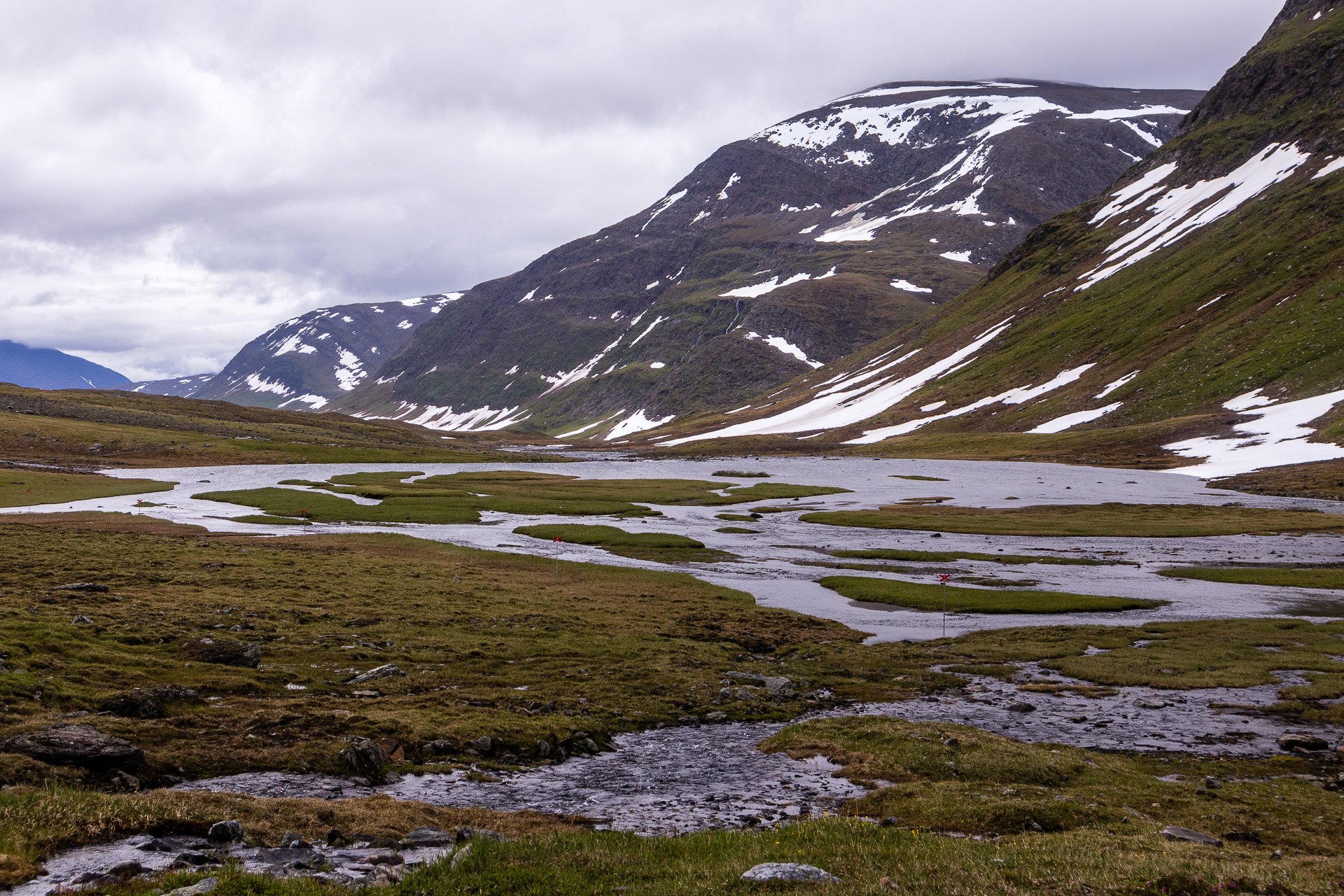
After the summit, a challenging downhill climb leads to a wide lush valley of grasslands and small rivers all the way to the STF cabin.
Trail Information
Distance: 13km
Difficulty: Hard to Very Hard reaching the peak and climbing down in the rain. Easy otherwise.
Transport: None
Resupply: None
Accommodation & Shopping
STF Tjäktja Fjällstuga
One of the smaller cabins on the trail, it sits approximately 0.5km from the main course, across a high metal bridge over a ravine full of rushing water. You then have a challenging walk over rocks and overflowing streams (if the weather has been wet) to reach the higher point with the cabin.
There is no shop here, though you can, of course, buy an STF patch, and like all the cabins there is free Saft to drink as a welcome. It would be a lovely stop to stay, whether camping or staying indoors.
Tjäktja Summit cabin
A privately bookable cabin at the highest point of the kings' trail, offering beds and a sauna, on a good day, the views across the valley is impressive.
Sights
Tjäktja Summit
On a good day, the view is supposed to be spectacular at the summit of the Kungsleden's highest point. You look out over a deep lush valley. On a more typical day, grey clouds, rain and mist reduce what you can see and it is more the achievement of summiting than the view.
The Experience
Day 03 - 21st
The hike from Tjäktastugan to the Tjäkta summit slowly turns from plains to stones, and the final kilometre or so is often over loose rocks and snow. Keep careful control of your footsteps, and a walking pole is recommended to keep testing the way ahead of you.
Crossing stream after stream, I realised my response to the bubbling noise had become pavlovian. Cross a stream, take a sip of water from the camel pack.
The route up towards the summit is not too steep, gently increasing as you climb higher and higher. It is only the final few hundred meters, where it becomes a challenging climb. The climb is hard and over uneven ground, but you finally reach the summit cabin.
Looking back towards Tjäktastugan from the summit climb
The cabin has a sauna and a few beds and needs booking separately. On a good day, the view from the highest point on the King's Trail is no doubt breathtaking, but when I was stood there, it was grey and heavy rain.
The descent was steep and muddy, requiring caution with my bag on my back. I could not find the campsite the host was recommending, and the rain was coming down harder and harder, and I was out of the water and had not passed a stream since before the summit. I finally reached a section of reasonably flat ground near a running stream and set up my tent in the rain. The field was more than damp, and the rain made sure everything in my tent was a little damp. The pegs I brought are fantastically useful, I was able to hang my wet rain gear up to dry out, though it makes it seem like I was sat in a launderette. The two awnings on my tent, even though they don't have a groundsheet stay dry enough even in heavy rain and wind to keep my shoes and a few other items in, without getting dirt into the tent. As the damp ground was not that flat, I actually used spare clothes in dry-bags to even out the earth under my mattress, something I'm quite proud of as an innovation.
This was a tough day. I huddled in my tent, amid damp clothes with multiple days of rain behind me, wondering why I was doing this and if I really wanted another three and a half weeks of the same. I was making good time, better than expected in fact and it meant I was often in my tent for a good portion of each day. Kept there by rain or mosquitos or both. Looking back, this day was perhaps the lowest point of my hike and shows how much your mood is reflective of the weather around you.
The day's hike had been dominated by stone, walking across them, taking shoes off to wade through water across them, and hoping they stay stable under your feet on the snow.
It was cold and damp in the tent, I spent much of the time just hoping for a break in the weather, disappointed in missing any real view from the summit of the trail.
Laying in the tent, I kept thinking I heard music in the distance.
Approx 17km
Total: 52km (12%)
Song stuck in my head: American Boy
A thin shell, I keep the world away
The rain and the wind
Cold intrudes
I hear people pass
The shell is not enough, wrapped in a blanket.
Only my eyes out to see my tiny world.
Day 4 - 22nd:
8:30 am start
A light drizzle greeted me as I packed up the tent. Around the tent was a lot of animal faeces and not the small pellets from reindeer or moose, but larger. A later investigation confirmed it to be bear scat. Which is a terrifying thought.
A few other tents were visible in the distance, likely the source of the music in the night. The walk onwards was a tough slog downhill through a great many overflowing streams and muddy trails. The wet weather was really affecting the route.
The rivers were lovely at high water however and worth the effort to cross, fast-moving streams of water in the occasional sunlight.
I met a girl in a bright red rain parka who was somehow making the whole trail in flynet trainers.
By this point, my bag had reached approximately 14kg due to eating the food and filling only the camel sack.
I reached Sälkastugorna at around 10 am. A few cabins rising up on a small hill.
Total Distance:
Altitude Gained:


