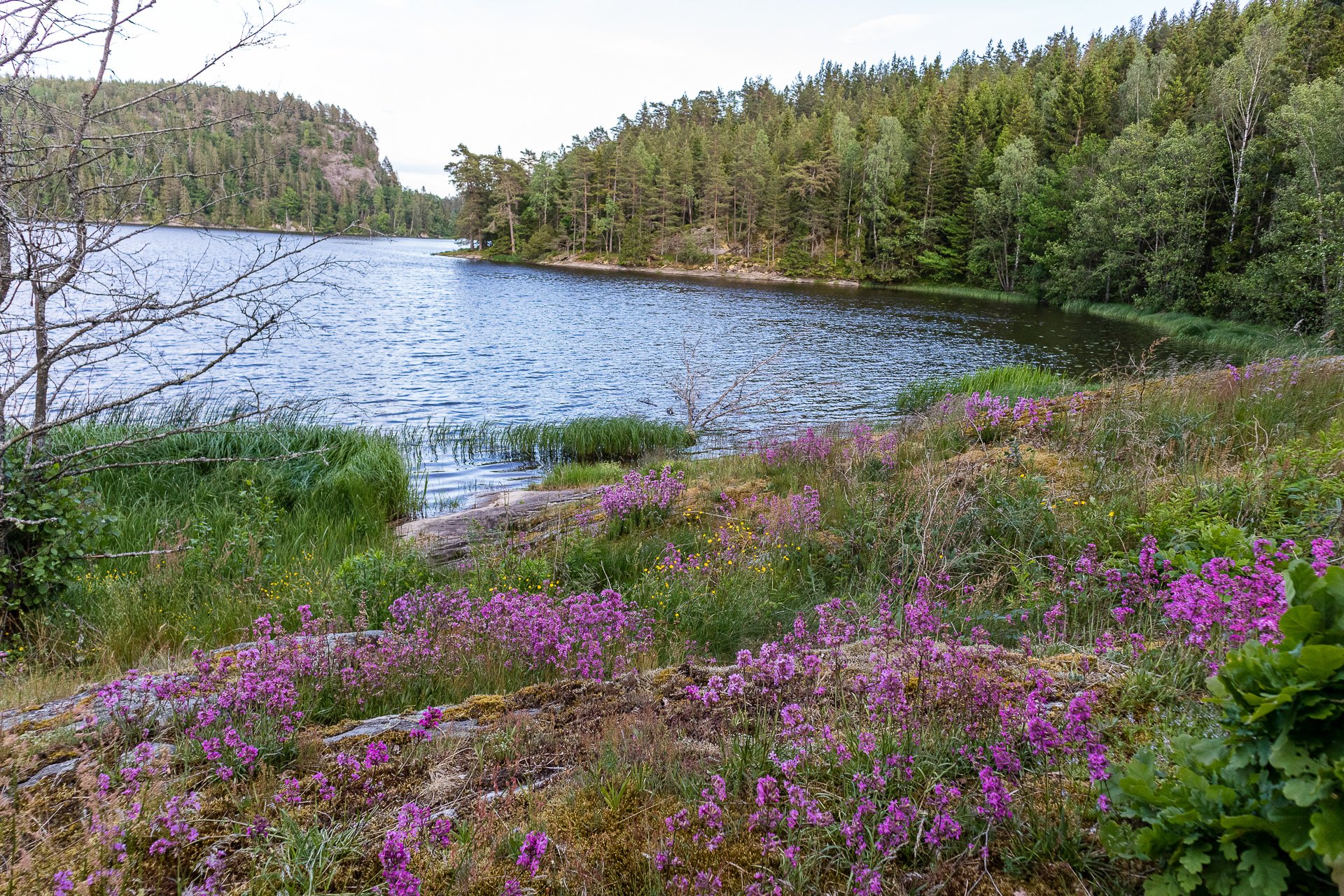
Returning home is the most difficult part of long-distance hiking; You have grown outside the puzzle and your piece no longer fits.
- Cindy Ross
Hikes
-

Annapurna, Nepal
After about an hour of bouncing along the roads, once we’d managed to make it out of Kathmandu, we got our first proper glance at the Himalayas.
-

Bohusleden, Sweden
Bohusleden is a trail that stretches over 370 kilometres through the heart of Sweden's stunning landscapes. This trail is a journey through dense forests, over tranquil lakes, and across rugged cliffs, offering a chance to experience the untouched beauty of Sweden.
-
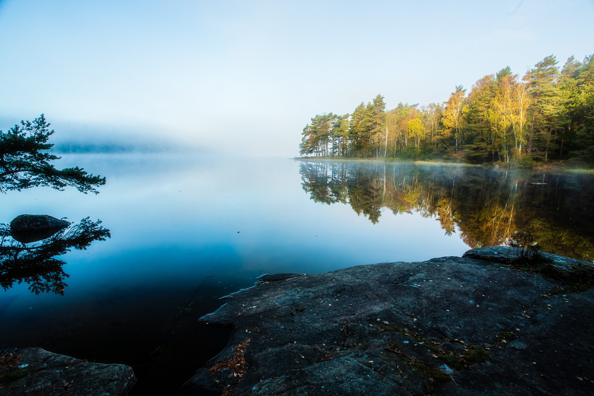
Gotaleden, Sweden
A 71 kilometer trail from Gothenburg to Alingsås.
-

Höga Kusten, Sweden
Höga Kusten, or the High Coast, is a hiker's paradise nestled in the heart of Sweden. This trail is a celebration of nature's grandeur, offering a unique blend of towering cliffs, verdant forests, and the serene Baltic Sea. As you traverse the trail, you'll be treated to breathtaking views that are a testament to the power and beauty of natural forces.
-
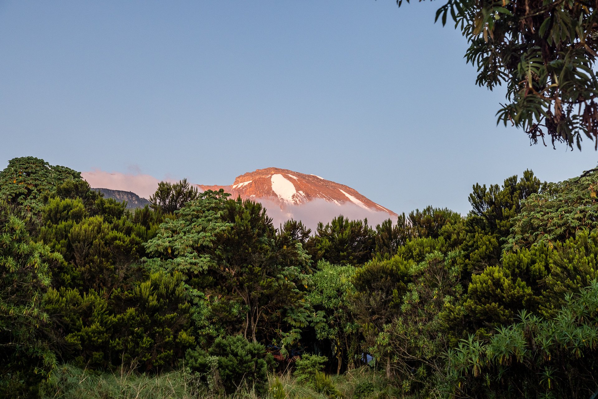
Kilimanjaro, Tanzania
Turning 42 on the slopes of Kilimanjaro, I hiked the Machame route from Machame Gate to Uhuru Peak, and down to Mweke Gate.
-

Kungsleden, Sweden
It all begins with an idea. Maybe you want to launch a business. Maybe you want to turn a hobby into something more. Or maybe you have a creative project to share with the world. Whatever it is, the way you tell your story online can make all the difference.
-

Tiveden, Sweden
Once a refuge for outlaws during the Middle Ages, Tiveden National Park is now a sanctuary for nature lovers. Whether you're drawn to the towering 15-metre boulder known as the Junker Jägare's stone or the serene forest trails, Tiveden offers a unique blend of history and natural beauty.
-

Utvandrarleden, Sweden
Approximately 110 kilometres around, the Utvandraleden, or Emigrants Trail is a picturesque hike giving you a chance to see some of the sights of Vilhelm Moberg’s quadrilogy of tales.

Etapp 18 - Rävfallet to Ammarnäs
At 21 kilometres, this section is about average but starts, after crossing the river at Rävfallet, with a steep uphill climb to reach the plateau, which takes up most of your hike. The downhill at the end gets very steep into Ammarnäs as you're crossing a ski slope. The final section from the bottom of the trail into the centre of Ammarnäs is on tarmac roads.
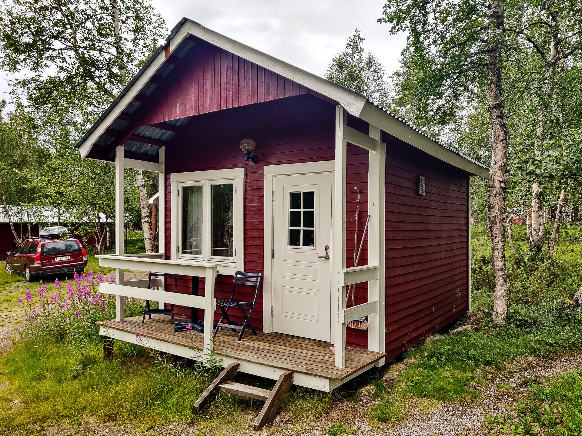
Etapp 17 - Adolfstrom to Rävfallet
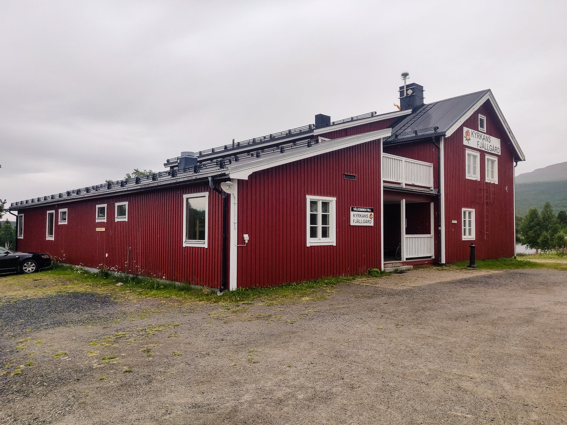
Starting with a hike or optional boat ride along the lake, the trail from Adolfstrom to Rävfallet is one of the longest sections. It starts with forest hiking before moving up to above the treeline and hiking along plains and rocks. A reasonable section of the trail, with Sjnulttjie as an option, if the weather turns bad, Be aware, a few kilometres around Sjnulttjie, you pass through a bird sanctuary with restrictions on where you can camp. Much of the rest of the trail to Rävfallet is in the shadow of the nearby hills and on good trails, with the final section in a deep forest before you come to find the cabin at Rävfallet.
Etapp 16 - Jäkkvik to Adolfstrom
A fairly short stretch that starts with a lot of climbing through Beach forests. Plenty of water is available as you hike along, and the final stretch is a reasonable downhill through good trails to reach Adolfstrom.

Etapp 15 - Vuonatjviken to Jäkkvik
A challenging uphill hike from Vuonatjviken South to the tree-line turns into a simple hike across the plateaus, ending with a long forest hike into Jakkvikk, with a short stretch on a resupply road. A few kilometres outside of Jakkvikk, you'll be rowing a boat 300m, which may be challenging if it is your first attempt.

Etapp 14 - Tsielekjåkk to Vuonatjviken
One of the longest stretches between accommodation, this wilder section of the King's Trail offers diverse terrain but some stunning views. As it is much wilder and on the edge of the Arctic Circle, you'll encounter a lot more variety of flora and fauna, but this is also where you really start to get the mosquito swarms.

Etapp 13 - Kvikkjokk - Tsielekjåkkstugan
Silver ore was discovered close to what is now Kvikkjokk in the 1650s, and shortly after, in 1661, a Luleå silver plant with a smelter was constructed. Almost 400 years later, 18 permanent residents, as well as a larger number of vacationers, make their home here. Perhaps the fulcrum point on the King's Trail sat between the well-serviced north route to Abisko and the wilder section to Ammarnas. Also, from Kvikkjokk, easy transport options exist into Jokkmokk and various other hiking opportunities in the area.
Etapp 12 - Pårtestugan - Kvikkjokk
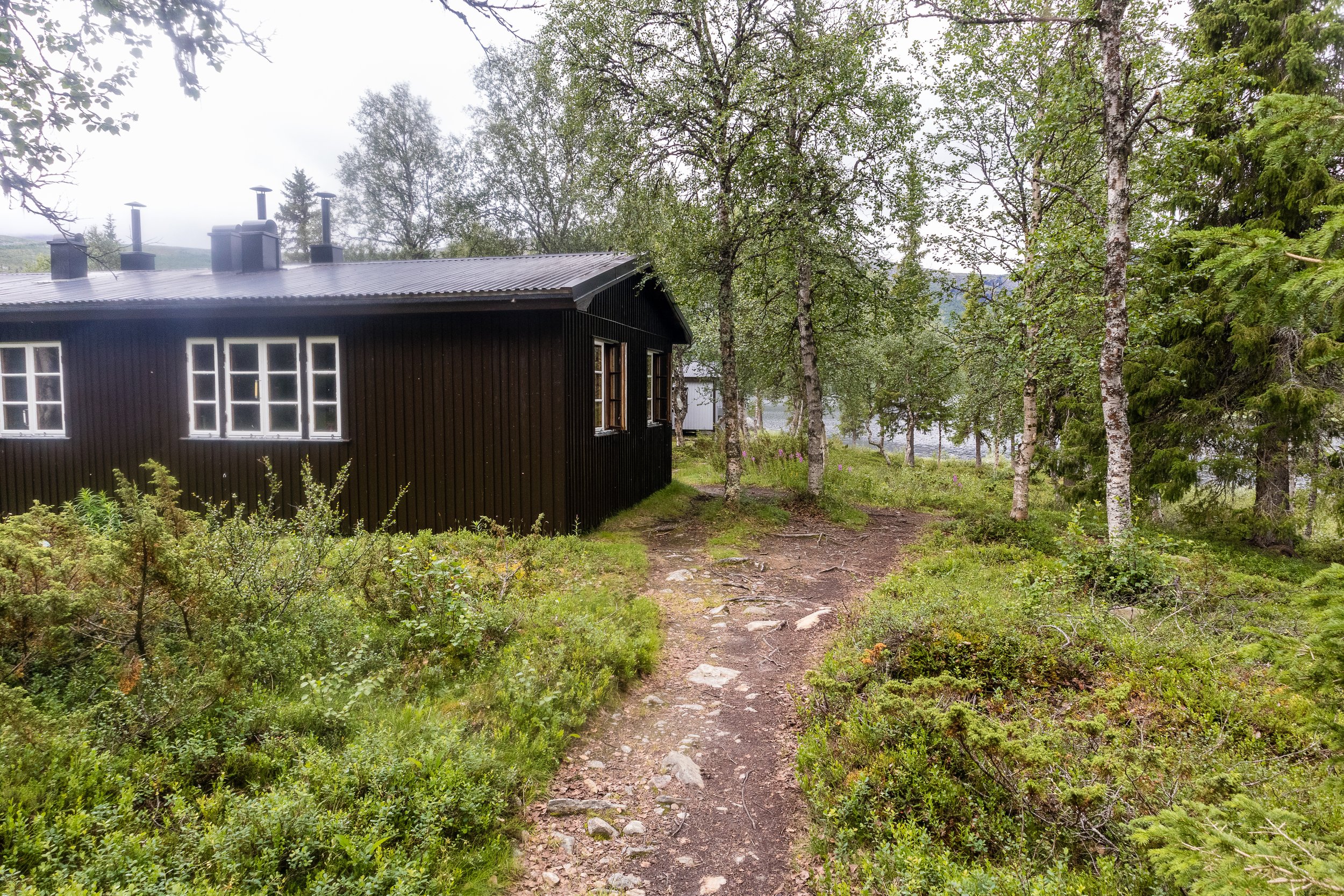
Walking along lake edges for much of this section, Pårtestugan to Kvikkjokk is a fairly easy hike through forests, and there is even Dáhtá beach to relax on if you choose to. It is mostly through humid forests with some really nice bridges over the numerous waterways, its an easy trail into Kvikkjokk.

Etapp 11 - Aktse - Pårtestugan
The boat is a short walk from Aktse, so make sure you leave time to reach it before the departure time. The trip is a short hop over Lájtávrre and then a hike through forest and marshland before you climb the edge of a hill.
Etapp 10 - Sitojaurestugorna - Aktse
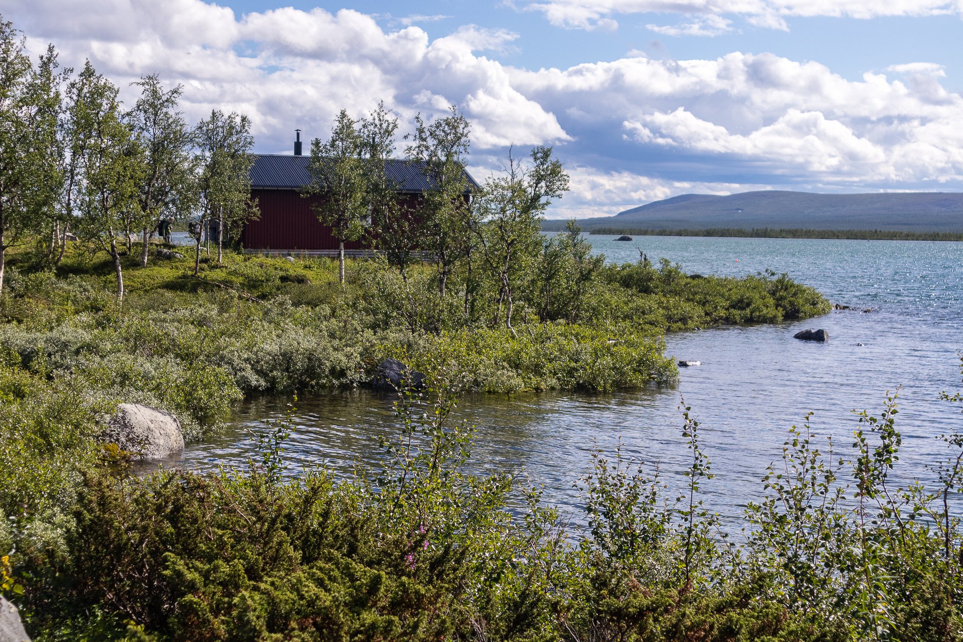
Starting with a nice boat ride across Sitojaure, the hike following landing is a stretch through the forest as you climb higher and higher and break the tree-line before a short plateau walk and then a steep climb down, which becomes very steep approaching Aktse.
Etapp 09 - Saltoluokta fjällstation - Sitojaurestugorna
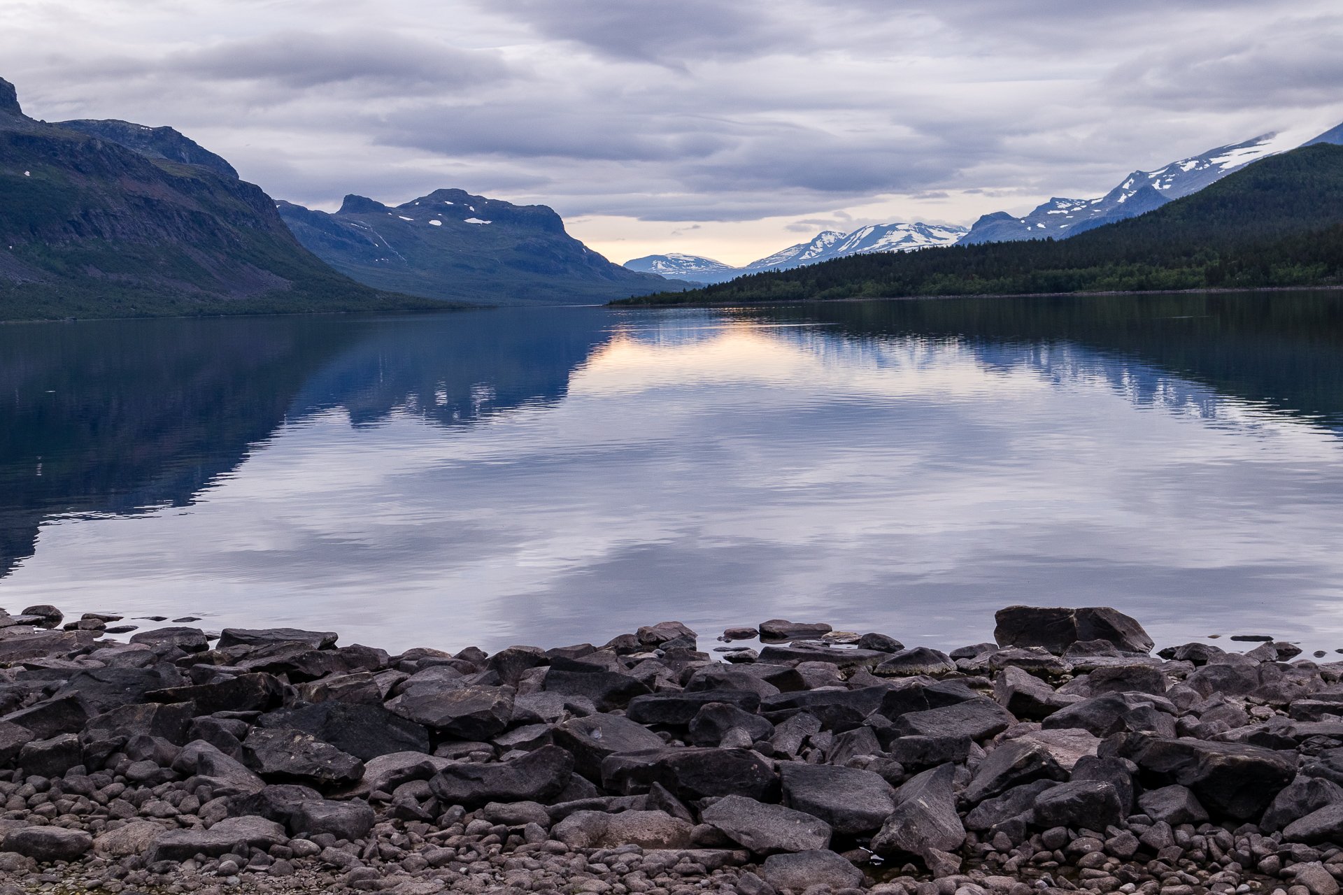
Almost immediately into a heavy green forest, there is a short but steep climb upwards before plateauing and having a consistent hike along the grasslands. The final stretch into Sito is a reasonably gentle downhill walk. As an easy hike, you can make perfect time between these two points, but given the fixed boat schedule from Sito, this may leave you cooling your heels in the STF station.
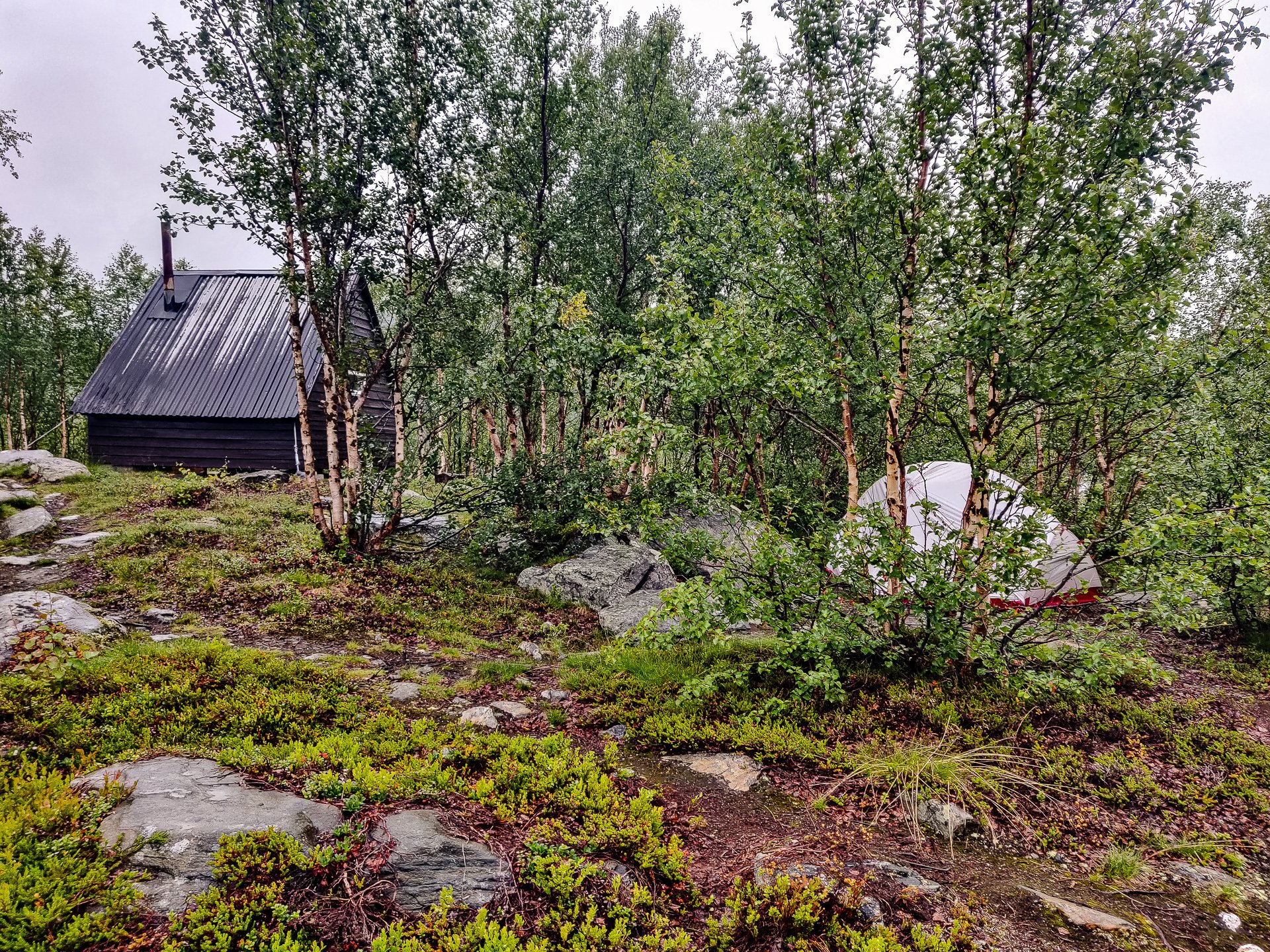
Etapp 08 - Teusajaurestugorna - Vakkotavare
The first half of this trail is uphill and can be quite strenuous. The summer hiking trail, once you reach the top, takes you on a detour from the winter to find the bridge over the river. Despite being high, the terrain is marshy after the river and for much of the summer will likely be a muddy slog, continuing gently uphill.

Etapp 07 - Kaitumjaurestugorna - Teusajaurestugorna
Crossing through Sjaunja, Sweden's second-largest nature reserve and part of Laponia's World Heritage site, the section of trail is short, though with a reasonably steep uphill section about halfway through. Once at the summit, the walk is flat, but it can be challenging to find the trail as much of the terrain in the last few kilometres is large rocks. Keep a close eye on the markings and don't be fooled by the winter trail markers.

Etapp 06 - Singistugorna - Kaitumjaurestugorna
This section runs alongside the sizable Tjäktjajäkka river and has several places where you likely need to remove your shoes to wade across the stone beds of smaller feeder streams. Deep enough that its unwise to cross just trusting to your boots waterproofing the water is bitingly cold on your feet and it is very much worth bringing some boat shoes with a grip, just for these crossings.
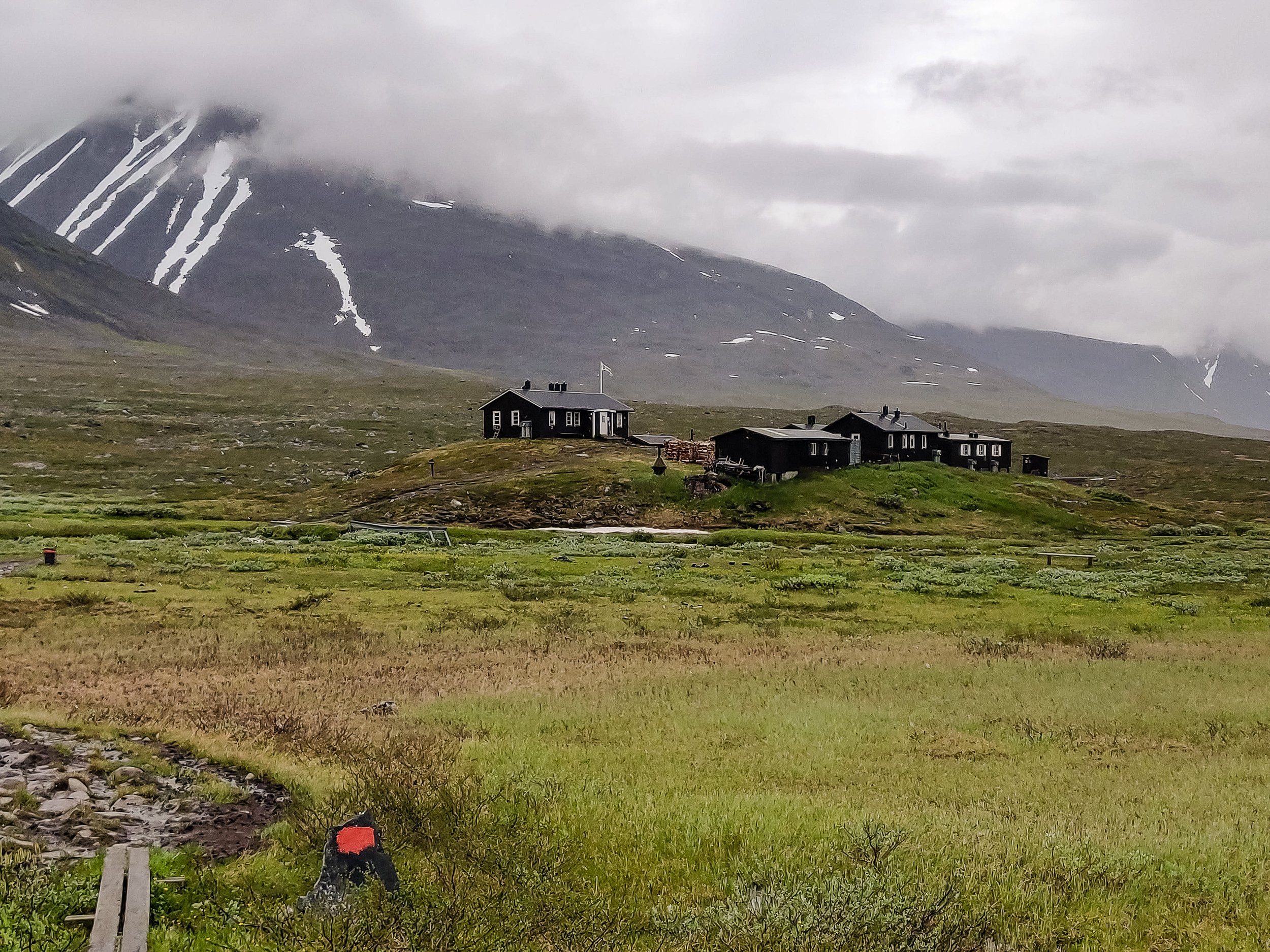
Etapp 05 - Sälkastugorna - Singistugorna
Much of Kungsleden follows North to South canyons, but this section gives you the chance to look into those valleys crossing West to East as well. If the weather is clear, you can see Sweden's highest mountain, Kebnekaise in the distance and many follow the side trail from STF Singi.

Etapp 04 - Tjäktastugan - Sälkastugorna
Through this section of the trail, you pass the highest point of Kungsleden. Despite this, it is not the most challenging climb of the route. Even during the summer months, there will be blankets of snow to cross. Keep a careful watch on the ground and probe ahead with a hiking pole or stick. There can be a sudden drop of as much of a foot where stones below the snow have shifted.

Etapp 03 - Alesjaurestugorna - Tjäktastugan
This section of the trail is mostly through a wide valley with spectacular mountains all around. It's a reasonably gentle hike, with some areas over wood planks. (Be cautious here if the weather is wet as it is easy to slip on the untreated wood). The second half of this section is quite rocky, and as you reach the STF cabin, you come close to a narrow but impressive river carved from the rock.

Etapp 02 - Abiskojaurestugorna - Alesjaurestugorna
Initially continuing through the birch forest, the trail then opens out after you leave the nature reserve. Just after the toilet and campsite, you cross a wide river by bridge and begin the first of many climbs on Kungsleden.
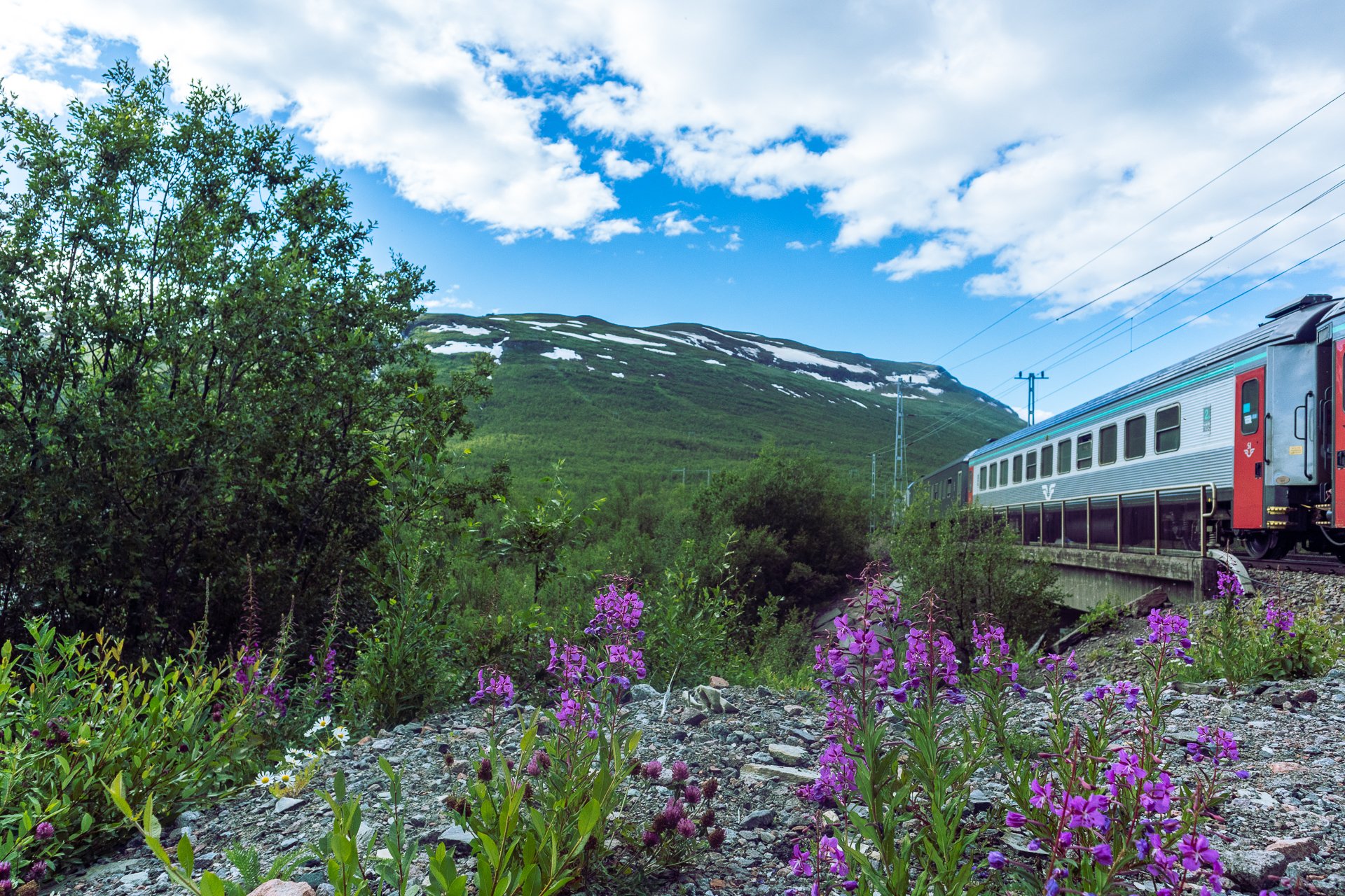
Etapp 01 - Abisko to Abiskojaurestugorna
Much of this section of Kungsleden runs through Birch forest, alongside the rapid river Abiskojåkka, often as a low canyon with some impressive rapids.
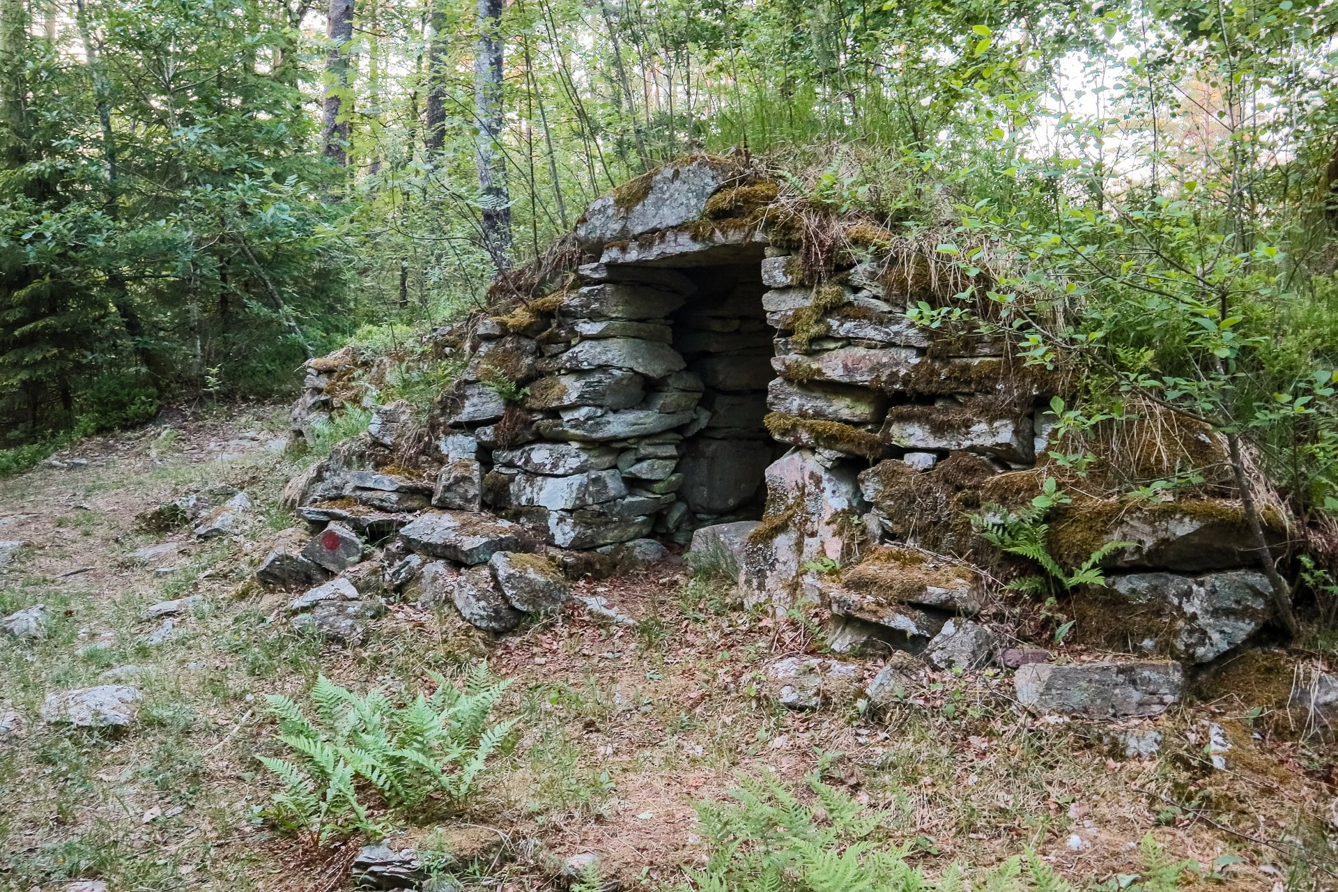
Etapp 14 - Bjursjön to Metsjö
A shorter stage of only 13km is marked as a difficult trail and has some areas with ropes to assist climbing; it also has some steep slopes to hike. The final third of the trail, as you reach stage 13, is comfortable
